
DeLand ZIP Areas at a Glance
DeLand is served chiefly by two broad delivery zones, with a third code associated with limited special or post-office routing. These descriptions are for orientation. They are not surveyed boundaries, and they cannot decide whether an address falls within incorporated DeLand. Verify a precise location through USPS and then check the parcel's municipality in Volusia County data.
| ZIP | General DeLand coverage | Postal facility | Local note |
|---|---|---|---|
| 32720 | West and central delivery area, including DeLand-named places west and southwest | DeLand Carrier Annex, 240 W. New York Ave. | Postal DeLand extends outside city limits |
| 32724 | East and central delivery area, plus places north and east | DeLand Post Office, 336 E. New York Ave. | City and unincorporated addresses share the postal city |
| 32723 | Limited DeLand-associated special or post-office routing | Handled in the DeLand postal scheme | Verify whether a specific street address uses it |
The postal directory therefore has a narrow purpose: it identifies mail routing areas. It does not provide a count of city residents, establish a home's permit agency, or prove that a named person receives mail there. West DeLand, North DeLand, and DeLand Southwest are key examples of places where the postal name can conceal a city-county boundary.
32720 Across West DeLand
Code 32720 generally serves west and central DeLand delivery territory. It also reaches DeLand-named unincorporated areas to the west and southwest. A result written as DeLand, Florida can thus fall under Volusia County permitting and code service instead of City of DeLand service. The carrier annex at 240 W. New York Avenue is the postal facility named in the research for this side of the scheme.
That difference matters when a postal area leads into public records. County property and GIS tools cover the parcel either way, but a permit or code search depends on municipal status. The Spring Hill community redevelopment area is a clear local case: it was created jointly by DeLand and Volusia County in 2004 and straddles incorporated and unincorporated land. ZIP-wide figures should never be labeled as incorporated-city totals.
DeLand annexation rules help explain the uneven edge. The city says an annexed parcel must be contiguous, while a noncontiguous owner may enter a covenant for future automatic annexation once the land becomes contiguous. That process can leave nearby sites with the same postal label under different service systems. For a parcel on the west side, record the municipality field before opening any city permit screen. If it is outside DeLand, switch to the county channel rather than assuming the city portal has a missing file.
32724 Across East DeLand
Code 32724 generally covers east and central DeLand delivery, along with DeLand-named areas to the north and east. The main DeLand Post Office is at 336 E. New York Avenue. Just as on the west side, the postal city may be shared by incorporated and unincorporated addresses. An east-side mailing label is not enough to select a permit desk.
The official USPS DeLand Post Office listing gives the postal facility context used by this local directory.
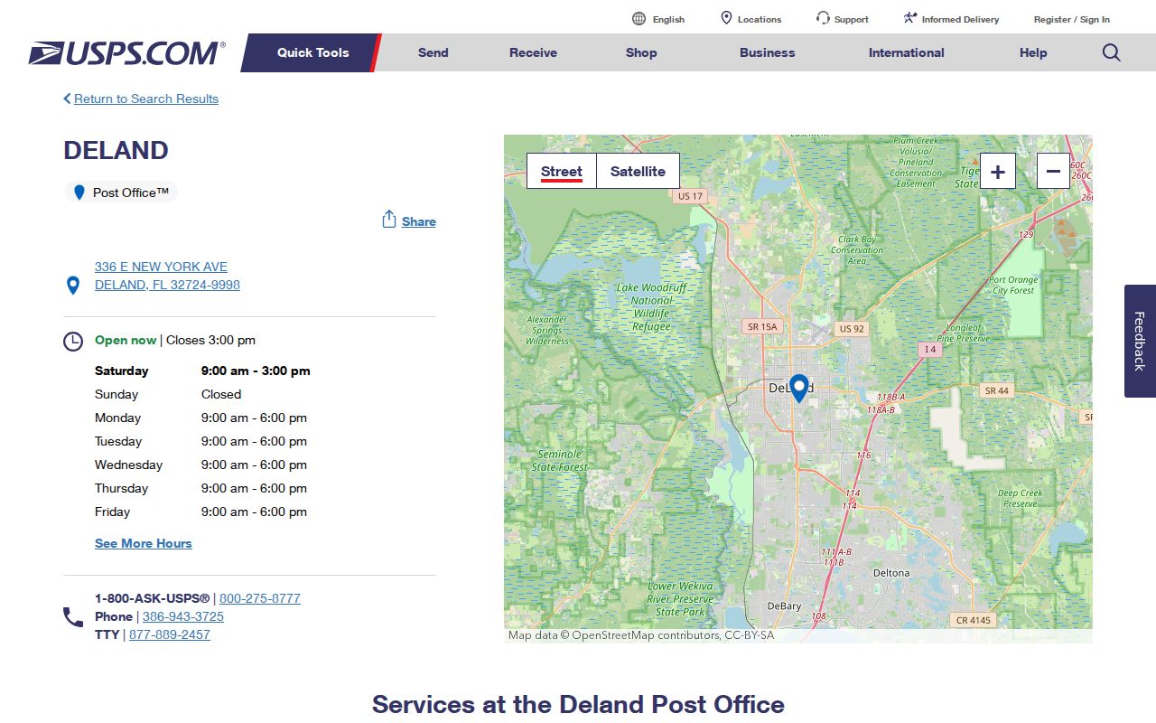
The facility listing helps with mail service, while Volusia parcel data answers the separate question of local jurisdiction.
32723 in DeLand Routing
Current USPS routing material associates 32723 with DeLand for limited special or post-office use. The research does not support treating it as another broad street-delivery district. Verify a specific address before assigning the code to a resident record. This caution is more useful than drawing a hard boundary that the evidence does not establish.
The same rule applies to any result from a commercial map: compare it with the Postal Service's own address tool. The code can route mail without defining a neighborhood, voting precinct, parcel, or city service area. In the DeLand postal list, 32723 belongs as a qualified entry rather than a claim about a large resident zone.
No realignment or split year was established in the research, so current USPS evidence controls. Older letters, directories, or clippings should be read with their own date and address form. When the task involves a person rather than mail service, carry the verified street line into the next official source. A modern routing result should not be projected backward onto an undated historic record.
Verify a DeLand ZIP Address
The USPS ZIP Code Lookup offers three routes: enter a full address, search by city and state, or find city names linked to a ZIP. The exact-address route is best when apartment or suite detail is known. City-and-state results can show codes associated with DeLand, but they do not settle city limits.
| USPS field or mode | Input | Use in DeLand |
|---|---|---|
| Company | Optional text | Leave blank unless checking an organization. |
| Street Address | Required address text | Enter number and street name. |
| Apt/Suite/Other | Optional unit | Add unit detail for the most exact route. |
| City and State | Place plus Florida | Returns ZIPs associated with the postal city. |
| ZIP Code | Code alone or with street | Returns preferred or accepted city names. |
| Find | Submit button | Runs the selected lookup. |
The official lookup screen displays those verification modes.
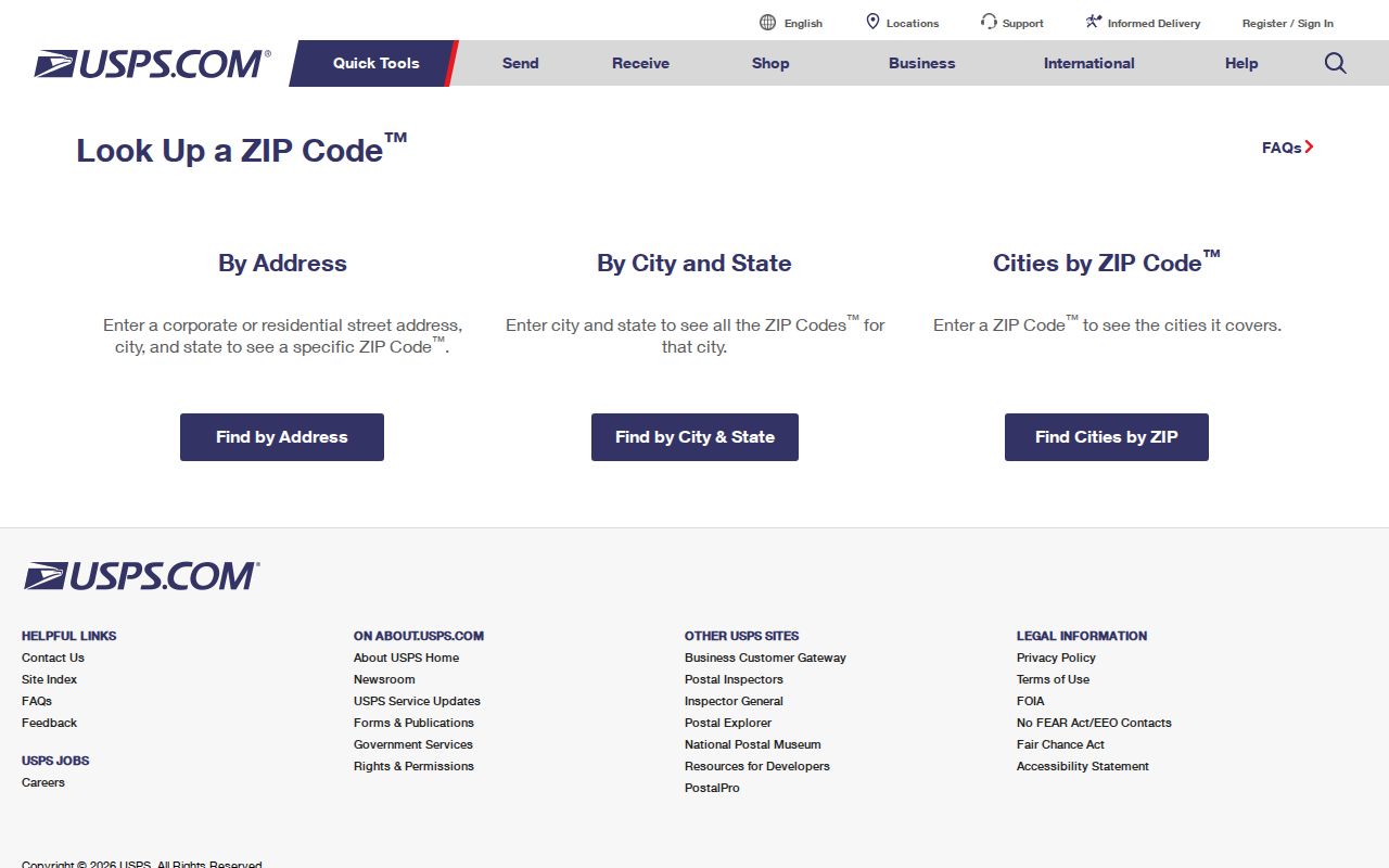
USPS expressly cautions that a match does not confirm a person or company occupies the address. It verifies the delivery route.
Find DeLand Residents by ZIP
A ZIP can narrow a search, but it should not become the only identity anchor. Property records organize land by parcel and situs. Voter records use residence and may also hold a separate mailing address. A public voter extract can be requested for a lawful study of a ZIP area, with exempt fields and protected rows suppressed. It covers registered voters only and changes as people move or status is updated.
- Verify the exact address or DeLand-associated code with USPS, and save the result as postal evidence only.
- Check the address in the Volusia Property Appraiser or GIS tool. Record the parcel, situs, municipality, and owner mailing address separately.
- For a lawful ZIP-level voter study, request the needed geography and current data dictionary from Volusia Elections. Label the extract date.
- Once the ZIP narrows to a road, use the DeLand street directory for the address-level record chain.
The Volusia Elections public-records page is the route for requested voter data.
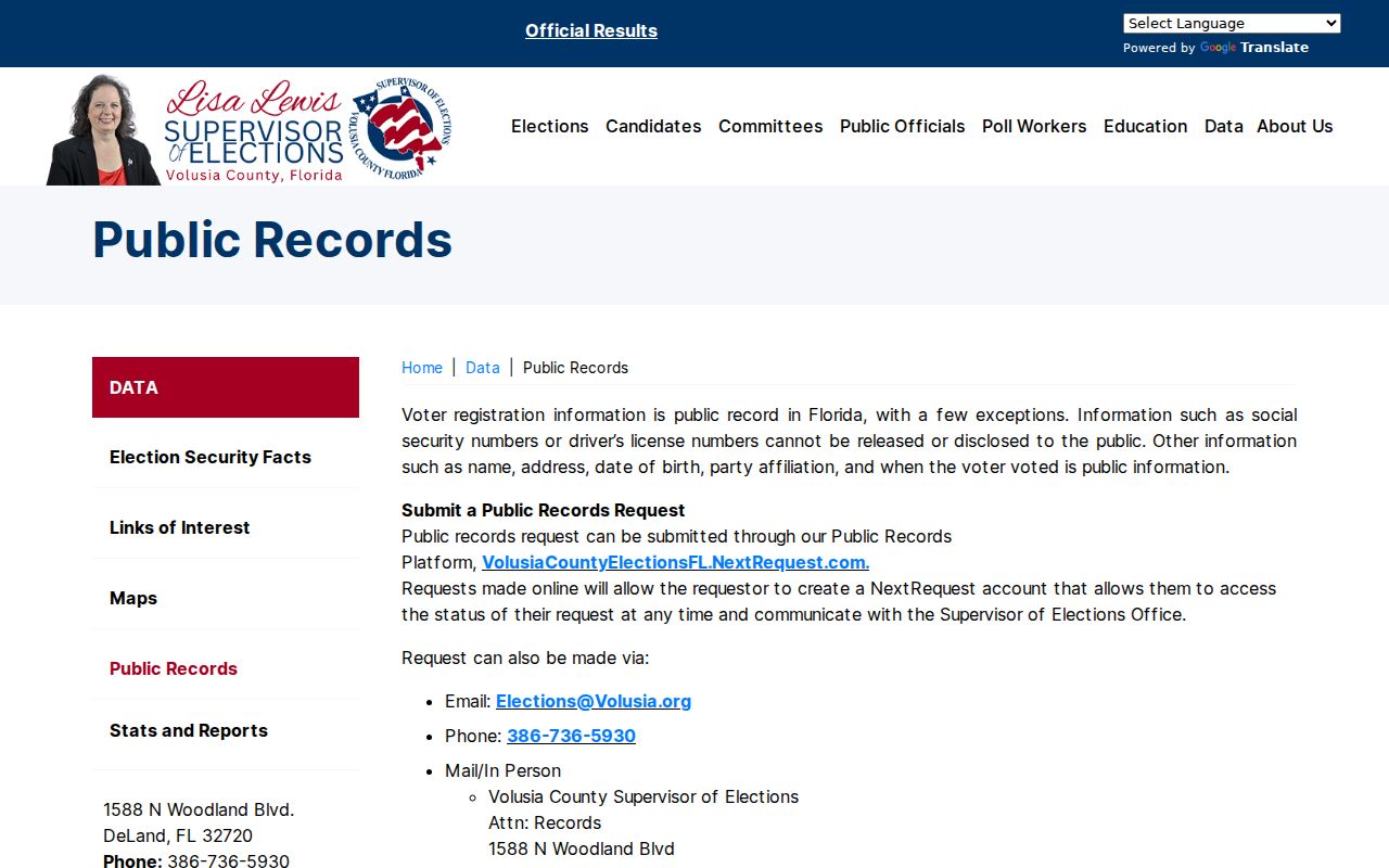
Use the current order form because dataset, geography, medium, and production needs affect the request and its cost.
Three DeLand Address Meanings
One DeLand address can have three useful identities. USPS gives the postal delivery form and ZIP. The Property Appraiser uses a situs address to locate the assessed land and an owner mailing address for correspondence. A deed relies on the legal description to identify the land. Those values may agree, but each serves a different record system.
- ZIP and ZIP+4
- A five-digit delivery area versus a more exact delivery segment added after a hyphen.
- PO-box ZIP
- A code or route used for mail collected from post-office boxes rather than broad street delivery.
- Unique ZIP
- A code assigned for one high-volume organization; none should be assumed in DeLand without USPS confirmation.
- Carrier route
- A group of delivery points served in a carrier's assigned route within postal operations.
- Situs
- The physical location assigned to an assessed parcel, not necessarily the owner's mail destination.
A mismatch is not always an error. It may reflect an out-of-area owner, a special mail route, or land identified more reliably by its legal description. Keep all three versions in the notes so later searches do not create a false break.
Route DeLand Permit Records
Permit and code records follow jurisdiction rather than the DeLand name on an envelope. After checking the parcel municipality, an incorporated address can be searched through the City of DeLand Citizen Portal. A postal DeLand parcel outside the line may require Volusia County channels. This step is especially important across North DeLand, West DeLand, DeLand Southwest, and Spring Hill.
The City of DeLand Citizen Portal page introduces the city record search and its user guidance.
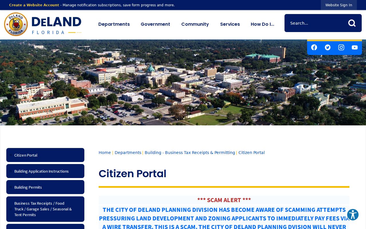
Use it only after the parcel check shows City of DeLand jurisdiction.
The linked DeLand Accela search is the city record interface for the incorporated side.
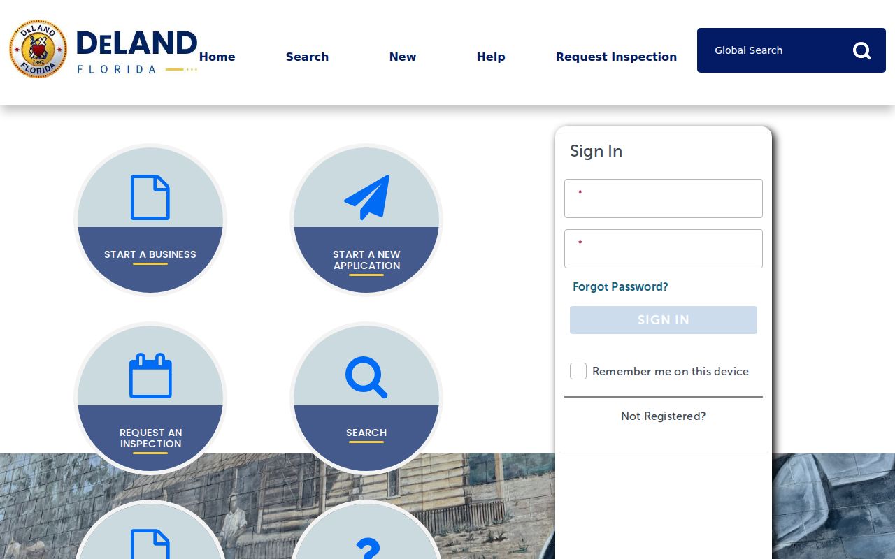
The portal may show permit, plan, inspection, or project records, but none proves who lives at the site.
DeLand ZIP Lines and Limits
ZIP geography serves mail. DeLand's city line governs city services, and parcel boundaries organize assessment and title work. The lines are not interchangeable. A resident may truthfully write DeLand, Florida while living in an unincorporated part of Volusia County. Conversely, broad ZIP totals can include people beyond the city.
For reliable work, let each source answer its own question. USPS verifies the delivery label. County GIS identifies the parcel and municipality. The Clerk's legal description protects the property link when street or postal data changes. Volusia Elections supplies district and registration facts within the rules for public records. This DeLand area directory is a starting filter, not a master resident roll.
Boundary check. Never use a DeLand ZIP alone to choose a permit office or claim an address is inside the city.