
Walk a DeLand Street by Address
A sound DeLand street directory search starts with jurisdiction. A 32720 or 32724 mailing address may fall inside DeLand, North DeLand, West DeLand, DeLand Southwest, or another unincorporated part of Volusia County. Check the municipality on the parcel record before choosing a permit or code source. The county roll identifies the assessed owner, while voter data or a reverse directory may add evidence about a listed occupant. Neither proves a complete household.
- Enter the location address in the Volusia County Property Appraiser Public Access search. Save the Parcel ID, Alternate Key, municipality, legal description, and deed reference.
- Browse the same street in the county parcel map. Click each lot on both sides instead of assuming map order follows house numbers.
- Compare situs with owner mailing address. Situs locates the land; mailing address routes tax-roll mail and may lead elsewhere.
- Carry the owner, instrument, or legal description into the Clerk's Official Records index and follow the recorded deed chain.
- Use a lawful voter-file request or library reverse directory for the narrow facts each supplies. Protected voters, nonvoters, minors, and unlisted people will not appear.
The parcel anchors the land. GIS adds place context. A recorded instrument documents a transaction, while city files show public work tied to an incorporated address. When the aim is a past occupant rather than modern ownership, the DeLand city directory collections take over.
Search DeLand Property by Street
The Property Appraiser query accepts a name, address, Alternate Key, or Parcel ID. For a by-street browse, try the street name without a house number when an exact query is too narrow. Owner searches use LASTNAME FIRSTNAME, omit punctuation, and accept an asterisk wildcard. A trailing wildcard is assumed. County data is updated weekly, so save the date with any result.
| Search control | Input | Required | DeLand use |
|---|---|---|---|
| Search by | Dropdown | Yes | Name, Address, Alt Key, or Parcel ID |
| Unified search box | Text | Yes | Full address, broad street name, or county identifier |
| Classic Search | Link or mode | No | Expands conventional choices |
| Search | Button | Yes | Runs the query |
A parcel card can show the owner, mailing and situs addresses, municipality, legal description, building facts, exemptions, sales, and instrument references. Homestead is consistent with owner occupancy, but it is not a list of all residents. That distinction keeps the street directory from claiming more than the roll proves.
Map DeLand Streets and Parcels
Volusia GIS makes a street visible as connected parcels. Search an address, zoom until lot lines are clear, click a polygon, and open its property detail. Pan along both sides. A condominium or common parcel can break a simple one-home-per-polygon pattern, and map measurements are aids rather than surveys.
- Parcel
- A unit of land tracked for assessment.
- Situs address
- The location assigned to the land, which can differ from owner mail.
- Plat
- A recorded map dividing a subdivision into lots, blocks, streets, and common areas.
- Criss-cross directory
- A later directory section arranged by street and number instead of surname.
Layers may include parcels, aerial views, municipal limits, zoning, flood areas, and districts. Confirm ownership on the parcel card and title through Clerk instruments. GIS finds the likely record; it does not settle title or boundaries.
DeLand Records Keyed to Streets
Several official sources accept an address or return one. Their scope differs. Pick the source based on whether the aim is current assessment, title history, tax status, municipal work, or evidence concerning registered voters.
| Address source | Custodian | Street evidence | Channel |
|---|---|---|---|
| Parcel and tax roll | Property Appraiser | Owner, mailing and situs, exemptions, sales | Free weekly portal |
| Parcel map | Volusia County/VCPA GIS | Adjacent parcels, municipality, map context | Free viewer |
| Deeds, liens, plats | Volusia County Clerk | Parties, legal description, title references | Online index; older terminal/media |
| Voter records | Supervisor of Elections | Public voter fields after exemptions | Status lookup or file request |
| Permits and code | City of DeLand | Work, status, public applicant or case data | Portal or clerk request inside city |
The Parcel ID ties assessment to map detail. A legal description and instrument number bridge to deeds and plats. Street number and name lead into permits. Public voter data uses residence addresses with protected rows removed. Even together, these sources do not create a certified occupant list.
Carry DeLand Parcels into Deeds
The Volusia Clerk Official Records index provides online records from April 4, 1988. Search by party, document type, instrument, book and page, recording dates, or legal-description fragments where offered. A deed result may identify grantors and grantees, recording details, document type, legal text, and a public image.
Older DeLand research continues at courthouse terminals and microfilm reaching 1887. The Recording Department is in Room A121 at 101 N. Alabama Avenue, and appointments are recommended. Staff explain equipment but do not conduct title or lien searches. Ordinary copies cost $1 per page, certification costs $2 per instrument, and a clerk search is $2 per name per year.
To move back one transfer, open the current acquisition deed and search its grantor as an earlier grantee. Keep matching the same lot, block, subdivision, or full legal description. Trusts, estates, quitclaim deeds, and name changes can make a simple chain branch.
Check DeLand Street Tax Records
The Volusia Tax Collector property-tax search adds bills, payment or delinquency status, and receipts. Tax mail follows the roll address. That can help distinguish the land from an owner's mailing destination, but it remains an owner-contact clue rather than proof of residence.
Open the official Volusia tax source shown in this capture.
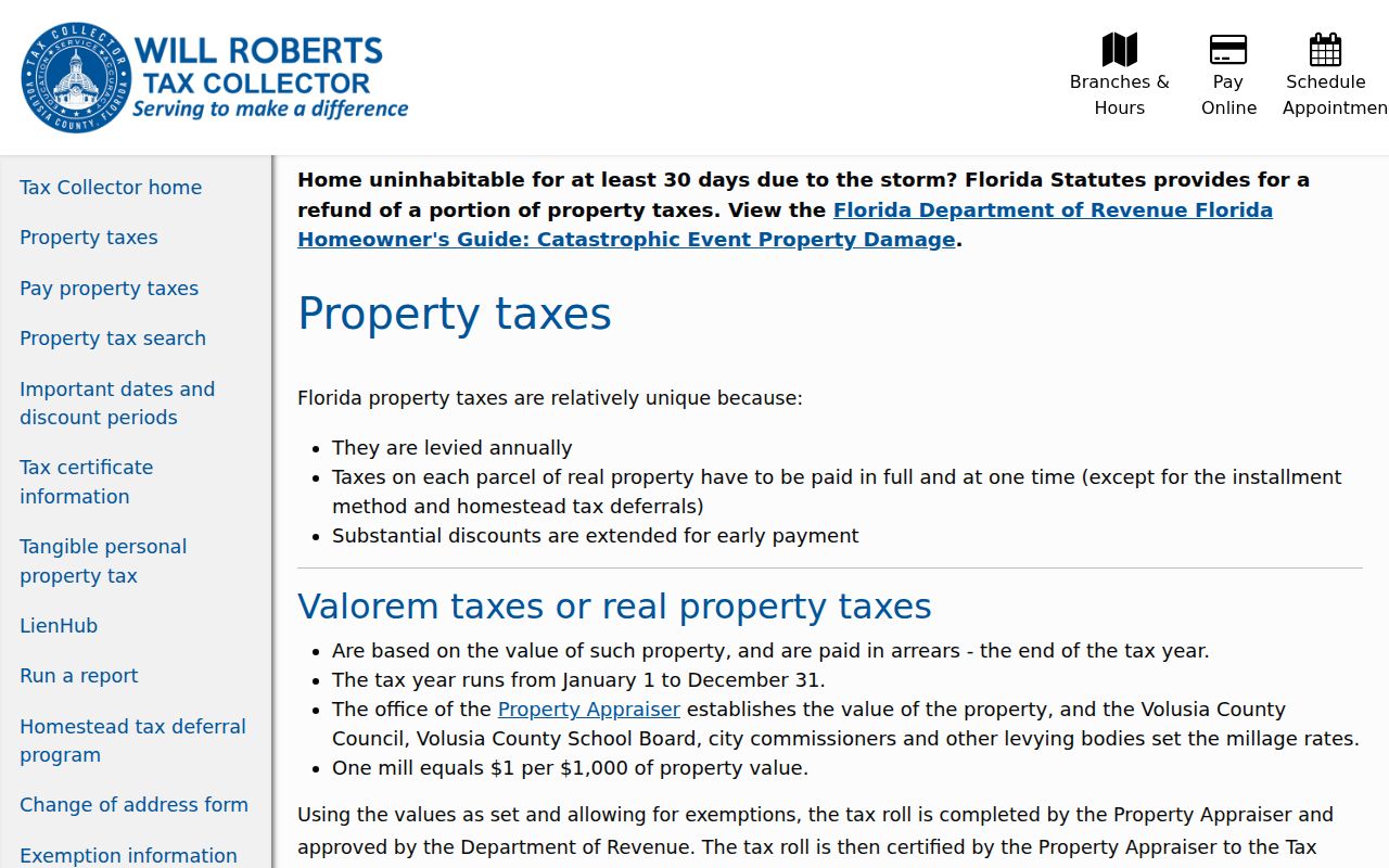
The tax source works best after the parcel search identifies the exact property and its county keys.
DeLand Street Permits and Code
For land inside incorporated DeLand, the Building Permits office and Citizen Portal return public records by address. Categories include additions, renovations, demolition, electrical, mechanical, plumbing, roofs, signs, solar work, and new buildings. Results may show the property, permit number, type, status, dates, public applicant or contractor data, inspections, and attachments.
The city building-permit source appears in this DeLand street directory capture.
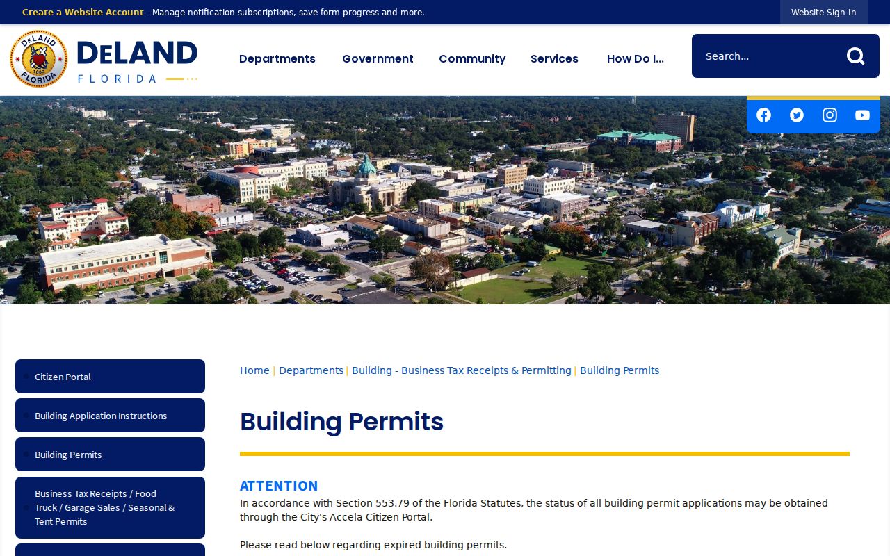
The page also marks the key limit: city permitting covers incorporated DeLand, not every postal DeLand address.
The Code Enforcement office can add public complaints, notices, orders, and recorded liens. Search online first, then ask the City Clerk for an older or attachment-level file.
Review the official DeLand code source represented below.
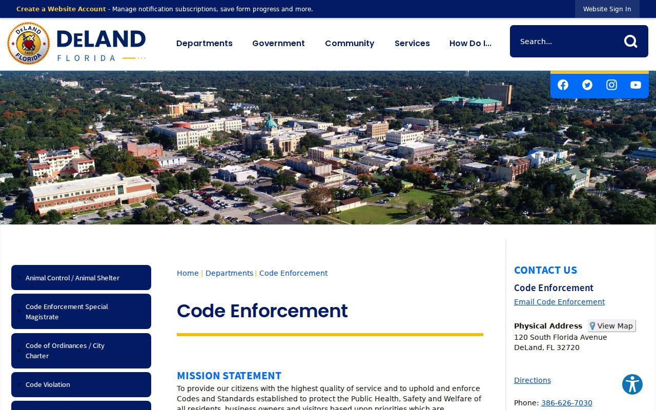
Code material describes a case tied to land. It should not be used to infer every person at that address.
Postal DeLand Is Not City DeLand
North DeLand, West DeLand, and DeLand Southwest show why a mailing city is not a government boundary. Spring Hill makes the issue concrete: its redevelopment area, created jointly by DeLand and Volusia County in 2004, straddles incorporated and unincorporated land. DeLand annexation also depends on contiguity, which can leave irregular limits.
Check the parcel's municipality before searching city permits or code files. If the land is outside the city, use the matching Volusia County channel. USPS routing, the assessed situs, and a deed's legal description serve different tasks. None should replace the parcel boundary check.
Note: Directional prefixes such as N, S, E, and W matter in DeLand, but research found no verified citywide numbering-origin rule.
DeLand Voter Records by Street
The individual Volusia voter lookup is designed for a person to check that person's own status. It asks for first name, last name, date of birth, an agreement, CAPTCHA, and sometimes the numeric house number. It is not a block-browsing tool. The public voter file is a separate records-request product from the Volusia Supervisor of Elections.
A lawful extract may include registered name, residence and mailing address unless exempt, party, status, registration date, precinct, districts, and election participation. Participation shows only that voting credit was recorded, never ballot choices. Florida law shields identification numbers, signature, application source, and protected addresses. It also omits all nonvoters and can lag a move.
Request records through the elections public-record channel, by email, phone at 386-736-5930, or at 1588 N. Woodland Boulevard. Ask for the current data dictionary, extract date, requested geography, and a price based on the current order form.
Reverse DeLand Street Directories
Later city and telephone directories may contain a reverse section arranged by street and house number. That form can put a listed subscriber or householder back on an older block when the property roll names only an owner. DeLand Regional Library has genealogy resources, while exact local directory years and publishers need confirmation from reference staff.
Call the DeLand branch at 386-822-6430 and ask whether the volume contains a street or criss-cross section. Search both “DeLand” and the historic “De Land” spelling. If a directory year is missing, compare nearby volumes, newspapers, deeds, and the public federal census through 1950. A skipped edition does not by itself prove that a family moved.
Newspaper databases add an address check when no suitable volume survives. The DeLand News Historical Archive, West Volusia Beacon, and Daytona Beach News-Journal can carry society notes, legal notices, business ads, obituaries, and reports of a move. Search the full street address, then remove the house number and try an occupant's surname. An article is narrative evidence, so compare it with a deed, directory entry, census schedule, or probate record before assigning a household to the property.
Historic downtown research may also need Sanborn fire-insurance maps. The 1886 Great Fire changed two blocks between Rich and New York avenues and led to masonry rules. That event helps explain shifts in buildings and business listings, but it did not burn the county deed books. Use mapped building footprints, legal descriptions, deeds, and newspaper accounts together.
Limits of a DeLand Street Directory
Property rolls identify assessed owners, not renters, minors, guests, or every household member. Deeds prove recorded transactions rather than present occupancy. Voter data covers registered voters after exemptions. DMV personal address data is protected, utility accounts are not a general public directory, and qualified people may have protected addresses.
Lawful use. Use DeLand address records only for lawful personal research. Never try to uncover a protected address or use the information to stalk, harass, threaten, or intimidate anyone.
A careful street directory labels each finding by source and date. It distinguishes assessed owner, deed party, permit contact, registered voter, and directory listing instead of merging those roles into one claim. When a portal lacks an older file, request inspection from the custodian rather than assuming the record does not exist.